Radon and New Building Developments
Radon Monitoring and Detection for New Building Developments
Radon Monitoring and detection is an essential assessment required in risk areas throughout the UK. But how do you know if the land that you intend to develop is a radon risk?
Earth Environmental & Geotechnical can help with radon monitoring and detection. Residential, commercial, and future developments need to know if there is a risk of radon exposure, or if radon exposure is occurring.
The Building Regulations require ‘basic’ radon protection to be installed in new properties located in areas where it is estimated that 3% or more properties will be affected by high levels of radon. Radon exposure is a serious risk to health. Residential, commercial and future developments need to know if there is a risk of radon exposure, or if radon exposure is occurring.
But how do you know if the land that you intend to develop is at risk from radon?
Radon can be drawn into a building through these cracks and fissures. Where the radon gets trapped, it can build up to high levels, prolonged exposure to high levels is a risk to health. You need to understand if your development land has the potential to be a radon risk site so radon mitigation measures can be included in the designs.
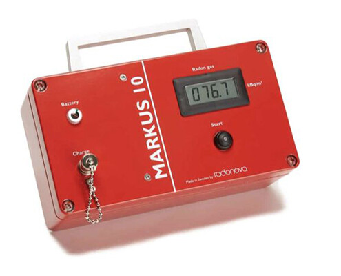
If you are planning a new residential or commercial development the Markus 10 can provide a clear understanding of the radon levels in the soil of your development site and can quickly allow for an informed decision whether the development requires radon mitigation measures.
The Radon Atlas shows the bands of radon risk in each 1 kilometre grid square of England and Wales. This is only a coarse gridded assessment of radon potential, defined as the estimated percentage of homes in an area above the radon action Level. The risk is indicative not definitive, and the atlas shows the whole 1km grid square according to the highest radon potential.
The advantage of the Markus 10 is that it provides the actual radon measurements specific to the soil of the development site. The equipment can be used to map the whole site to provide a clear and accurate understanding of the actual radon levels and then informed decisions can be made if radon mitigation is required and how extensive they need to be.
The Markus 10 will measure the radon content within 14 minutes after starting the measurement and only 18 minutes waiting time is required between each measurement.
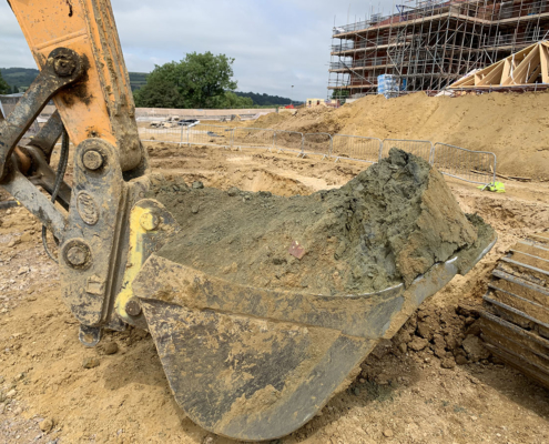
The instruments are particularly good for pre planning ground investigation work and can be used before designs or construction works start on new developments or brownfield land development. In-situ testing allows for an enhanced assessment of radon potential of shallow soils rather than sole reliance on the Radon Atlas.
Using the Markus 10 when assessing development land could mean that a site that may not look viable according to the Radon Atlas actually is or that any radon issues are captured at the pre planning phase so development designs can be adapted before designs are finalised for planning applications.
For further information on radon monitoring and detection for development land please contact Earth Environmental & Geotechnical now


