

Building on the Benefits of Geotechnical Assessments
Keep your project on a firm footing with Earth Environmental and Geotechnical Ltd,
Geotechnical assessments performed by Earth Environmental and Geotechnical Ltd, are used to gather information about the physical properties of the ground for a wide range of applications, such as researching the suitability of sites for proposed developments or works, or for the repair of existing structures either damaged or at risk from subsurface conditions.
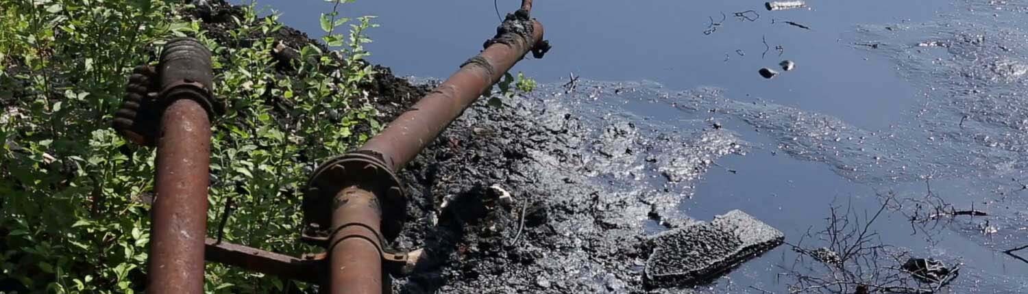
Geotechnical investigations are an investment in information that helps identify issues and avoid costly delays in building, development and engineering projects. Our geotechnical reports help reveal a range of potential problems caused by soft or weak ground, groundwater, sinkholes, landslides and more. Geotechnical investigations are also used to measure factors such as the thermal-resistance of soils or backfill materials needed for underground cables and pipelines, waste disposal and underground storage facilities
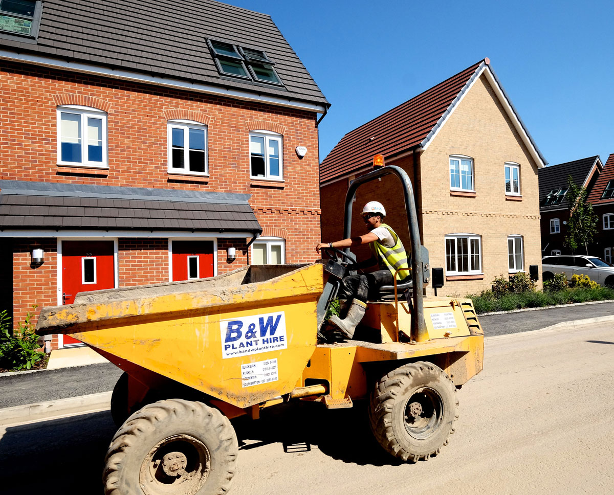
Any proposed change in the structure or shape of the ground needs to be geotechnically assessed. We provide our services for foundation design; pipeline routing; landslide potential; soil and rock slope stability; highway and pavement designs; earthworks and construction supervision; retaining wall designs; piling design; ground improvements and stabilisation; excavation support design; working platforms for tracked plant; soil structure interactions; secant, kingpost, sheet pike & diaphragm wall design; and landfill. Typically, our expert geotechnical assessments provide the information needed to properly design the foundations for a proposed structure.
Geotechnical assessments cover different types of investigations carried out by geotechnical engineers or engineering geologists depending on the needs of the project. This could involve anything from simply walking around a site to observe physical conditions, to geological mapping and photogrammetry. Assessing soil conditions below the surface usually means subsurface exploration using a range of techniques such as sampling, test pits, trenching, boring, and laboratory or on-site testing. Similar methods are used to identify if there is any soil contamination that might affect the proposed development.
Classifying soil standards is not an arbitrary process. A range of standards exist within BS1377 for the classification testing of soil, some of which are: Natural Moisture Content is a key indicator of the mechanical properties of soil, including its strength. The properties of cohesive soils are strongly influenced by the mineralogy of its clays, the Plasticity Index, along with the moisture content, are used for earthworks materials, NHBC volume change potential, etc. Particle Density – to determine the porosity and voids ratio, is often used in road construction to determine the compactness of fill materials. Bulk & Dry Density – the density of soils depends on the density of solid particles, porosity, and moisture content; the dry density is used in the evaluation of porosity and voids ratio, and again is often used in road construction to determine the state of compaction of fill materials. Saturation Moisture Content of Chalk, as suggested, is commonly used for chalk materials to establish the state of saturation of a soil, to determine the extent to which its pores are filled with water; free air or gases in a soil influence its mechanical properties. PSD Grading by Wet and Dry Sieve Methods expresses the sizes of particles that make up a soil in terms of percentages by weight of individual sizes, an analysis related to the mechanical properties of the material, and used for classification of sands, gravels and coarser particles. Used in conjunction with sieve analysis, PSD by Pipette Method determines the sediment – silt and clay – content of a soil, again used to classify and assess the mechanical properties of soil.
In addition to Classification Testing, other standards are applied including Chemical Testing – for pH value, sulphate content, organic content, Chloride content, and BRE SD1 Suite (used in concrete design); Performance Testing – for Dry Density Moisture Content Relationship (Compaction), Moisture Condition Value, and Laboratory Californian Bearing Ration; Consolidation Testing – for One Dimensional Consolidation, and Swelling Pressure; Shear Testing – for testing the shear strength of soils in various states; Triaxial Testing – in which soil is stress-tested at right angles with a vertical stress; Effective Stress Testing – Consolidated tests on undrained and drained samples; Permeability Testing – the direct measurement of permeability under constant head; Rock Testing – Measurement of Uniaxial Compressive Strength, and Point Load.
These tests illustrate just some of the standardised tests available and employed by our experts, however a good starting point for the preliminary assessment of a site is a geological map, which can provide an idea of what they can expect from the site. The British Geological Survey has extensively mapped the UK since 1835. The basic geology of the UK is covered in two 1:625,000 scale maps, and more detailed sheets are available at 1:250,000, 1:50,000 and 1:10,000. The two categories of these sheets show superficial deposits – both bedrock and the deposits on top if it; and bedrock – which shows the underlying rock without superficial deposits. Although not all areas are shown. The maps are superimposed on top of Ordnance Survey Topographical maps, using symbols to represent fault lines and other geological features.
Desk-based investigations can be a useful starting point for geotechnical assessment by our experts at Earth Environmental & Geotechnical, before moving on to site investigations using any of the variety of tools and methods in their skills set.
A key part of any assessment involves understanding the engineering proposed for the site. Whether it’s housing, industry, a pipeline, highway, or other civil engineering project, the suitability of the site should ideally be assessed as early as possible in the project’s timeline, to highlight whether it’s fit for its intended purpose in its current state, or whether remedial work will be needed. This includes geotechnical assessments carried out even before land is purchased. The scope of a geotechnical assessment extends to include any likely risk and budget. Larger projects often require ongoing geotechnical monitoring scheduled alongside the progress of the development.

Our analytical expertise means we are able to carry out sophisticated modelling of the interactions between soil and structure. We have extensive experience in the assessment of ground conditions for everything from the design of new structures, pavements and highways, to slope stability and ground improvement. We can explore the impact a proposed project will have on the site, and the impact the site will have on the project. While remedial work on the site might be needed in order for the project to progress, the results of our geotechnical assessment might also suggest amendments to the design of the project in order to help mitigate potential issues.
A Geotechnical Assessment is an essential factor in the integrity of any construction or engineering project. The experts at Earth Environmental and Geotechnical have the skills, qualifications and experience to keep your project on a firm footing.

