Coal Mining Risk Assessment South West Regional Office

Coal Mining Risk Assessment South West Office

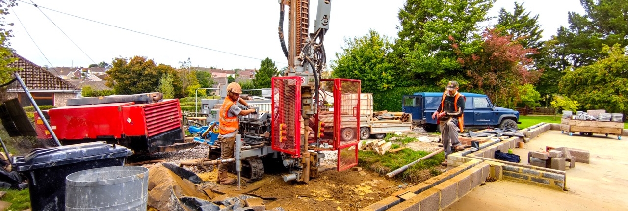
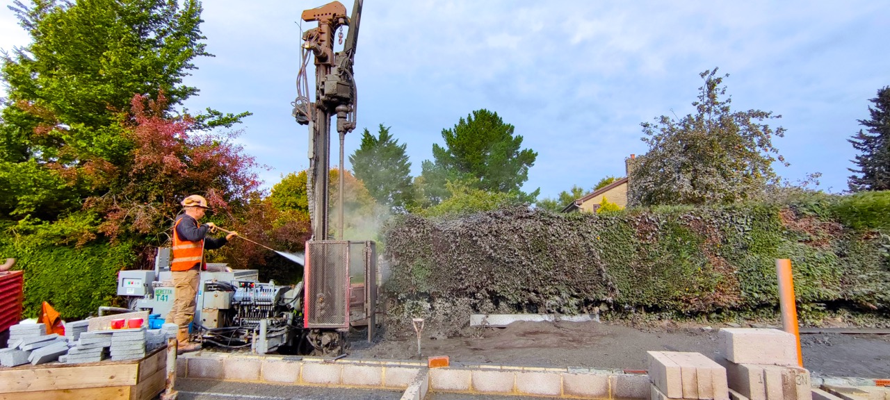
Last week Rosa from our Regional South West Office in Bath was on site completing ground investigations and site walkover for coal mining investigation purposes. The Coal Mining Risk Assessment was required as part of the supporting documentation for a  planning application for a client’s new property.
Last Monday and Tuesday Rosa was on site with her team completing ground investigations including boreholes to identify underlying ground conditions. During the site investigations, Rosa took the opportunity to work with the client explaining the site investigations being completed and the ground conditions on the site as further information was revealed.
On Wednesday, it was back at the office for a detailed desk study and further investigations, ensuring all relevant records and results of the boreholes and ground investigations were thoroughly assessed.
Once the Coal Mining Risk Assessment was complied the full report could be sent to the client to support the planning application.
The client was very pleased for our quick response and speedy turnaround,  and he will recommend our services in the future. Always great to get good feedback and  be working with happy clients!
The historical legacy of coal mining in the UK affects many development proposals, if you are unsure whether you need a Coal Mining Risk Assessment Earth Environmental & Geotechnical will assess your developments needs and can give you expert advice.
Paypal and credit card logos

Earth Environmental & Geotechnical we are routinely commissioned to provide Coal Mining Risk Assessments (CMRA) for planning applications.

A CMRA is required when a relevant development falls within a Coal Authority development high-risk area, due to either former underground workings, potential shallow mineworkings, or abandoned mineshafts.

Coal Mining Risk Assessments (CMRA) for Planning Applications

Importance of a Coal Mining Risk Assessment

a) A CMRA should always be developed by a Chartered Geologist (CGeol). Geologists are well versed in how to interpret geological, borehole records and mining maps. Much of the information on a map is based on interpolation and interpretation.

b) A CMRA should always, wherever possible be based on 1/10,000 or 1/10,560 scaled geological maps. To many reports rely on 1/50,000 scaled maps which often do not contain sufficient detail to appreciate complex geological settings.

c) The Coal Authority database of mining records is vast and a valuable national resource. There are however anomalies and some Development High Risk Areas have been assessed using outdated maps. Always check data provenance.

Historic Coal Mining Activity